• Avasta
    • Еда
    • Природа
    • Культура
    • Семья
    • Спорт
    • Сообщество
    • Блог
  • Planeeri
    • Размещение
    • Информация
    • Varamu
RUS
  • РусскийRUS
  • EestiEST
  • EnglishENG
  • LatviešuLAT
  • SuomiFIN
RUS
  • РусскийRUS
  • EestiEST
  • EnglishENG
  • LatviešuLAT
  • SuomiFIN
Populaarsed otsingud:
Näita kõiki tulemusi
  • Nature and Activities
  • Nature
  • Hiking Trails

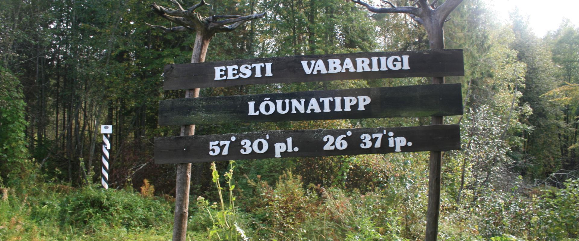
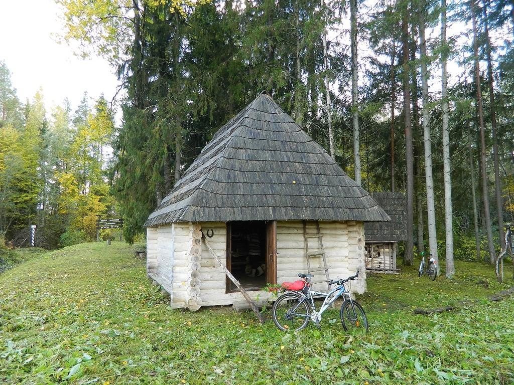
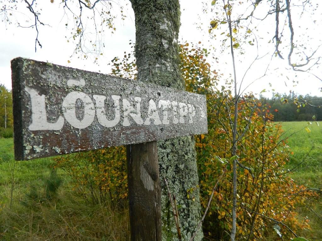
A nature study trail in the southernmost point of Estonia

Rõuge vald, Võru maakond, 66005

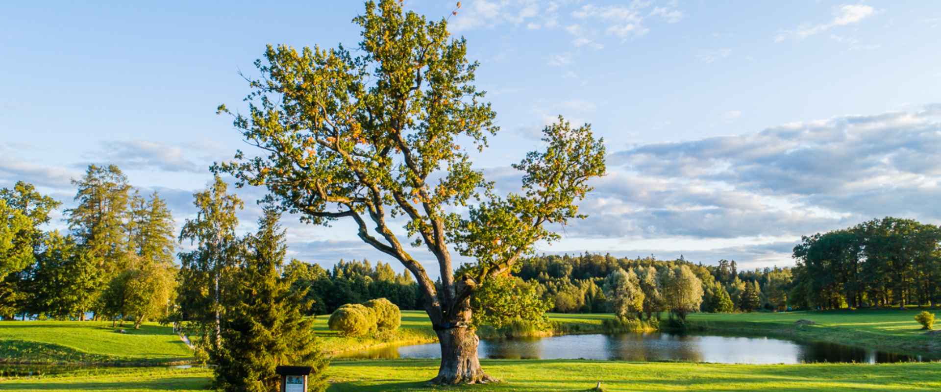
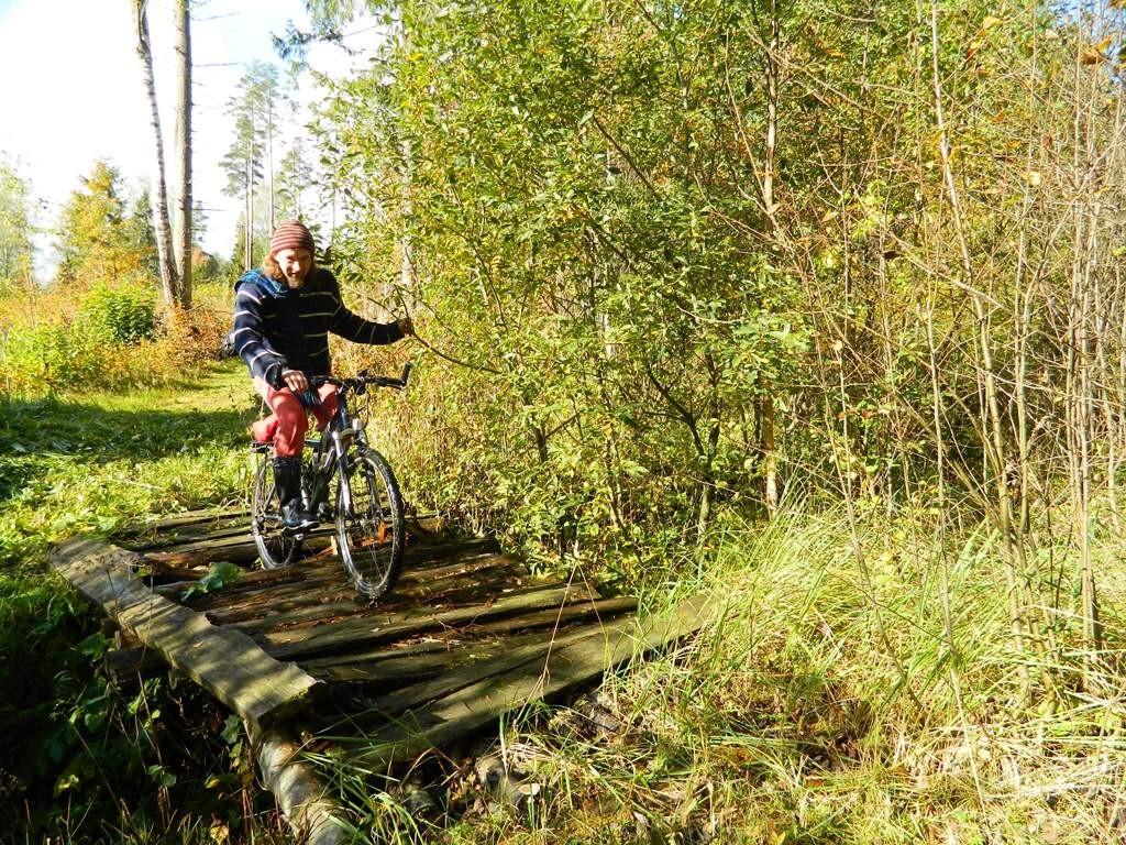
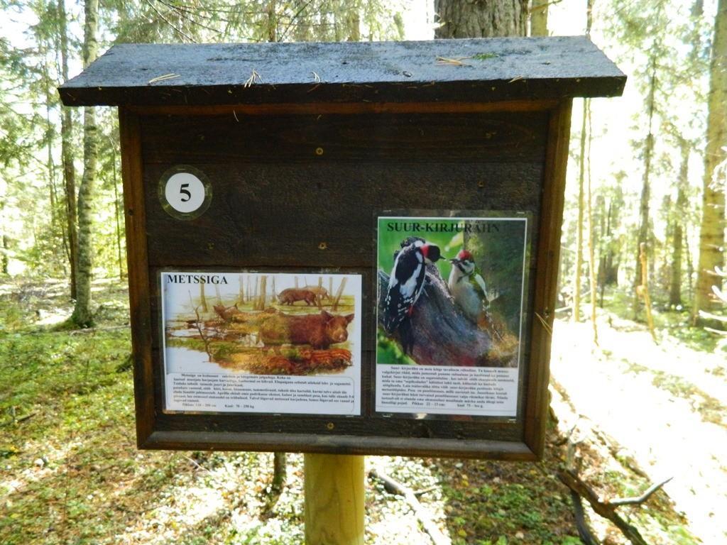
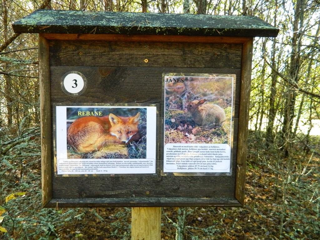
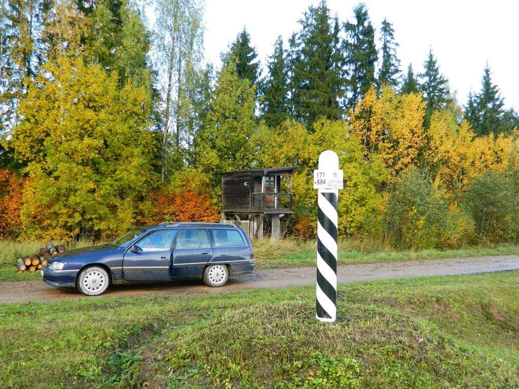
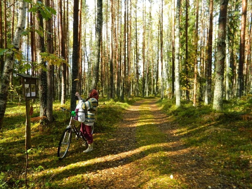
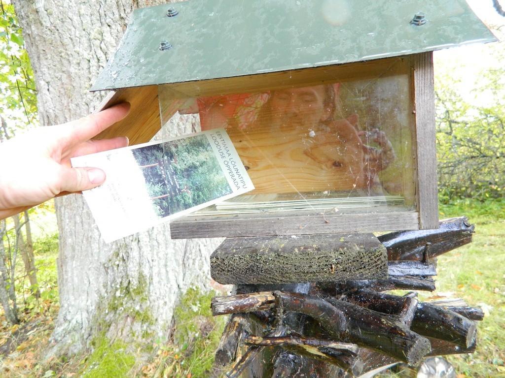
Drive along the Võru-Valga highway from Saru to Kuutsi-Tiitsa-Karisöödi-Ura-Naha (about 14 km). The trail is about 4.8 km long and it takes a couple of hours to walk it through. The trail starts under the oak-tree with a perimeter of about 4 metres in Naha farm and runs very close to the state border, so make sure you take your ID with you.
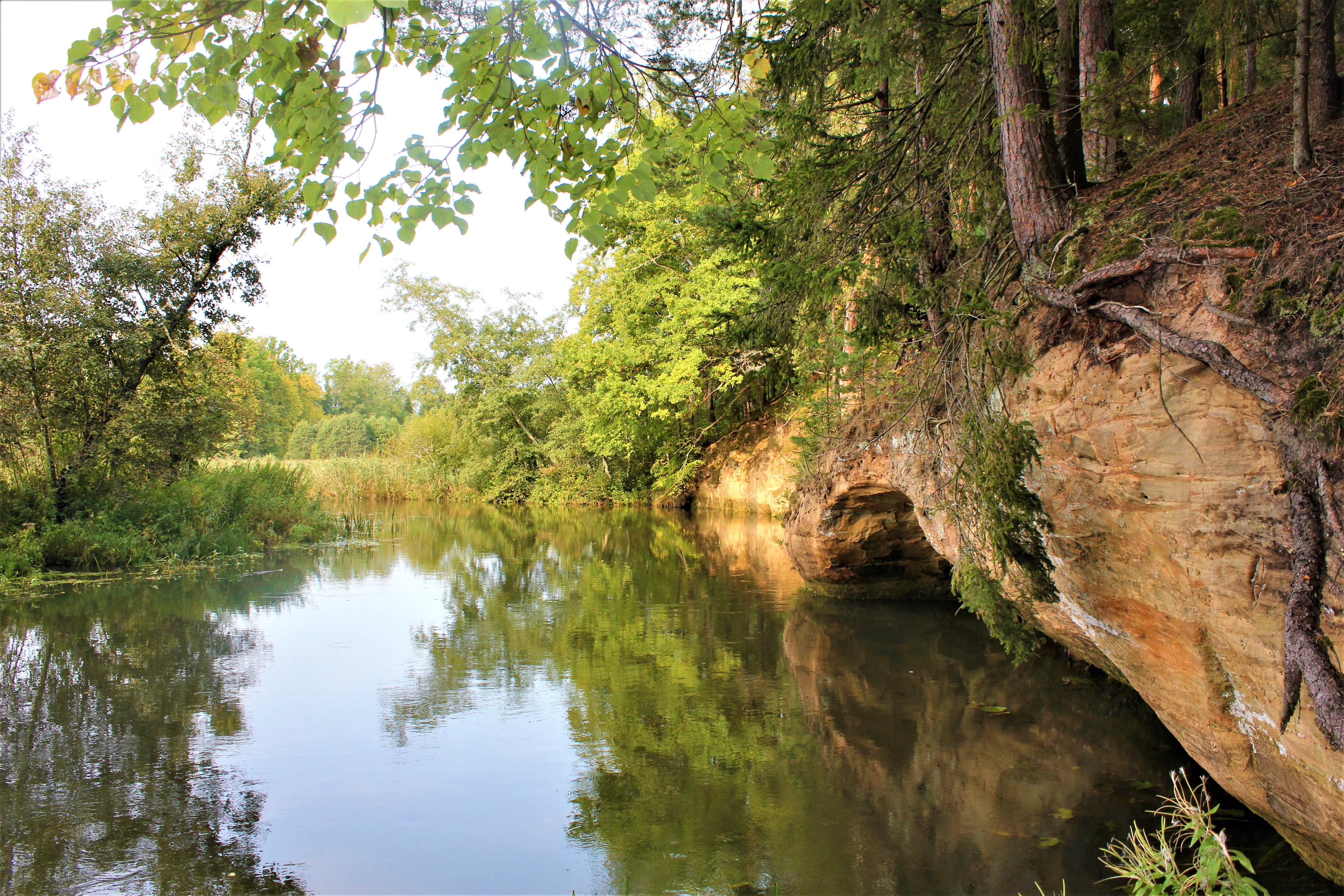
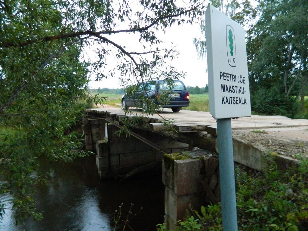
Interesting to know: you cannot put your foot down on the southernmost point, as the geographically correct southernmost point of Estonia is situated about 5 steps away from the marked spot, just in the middle of the Peetri River.
Mugavused

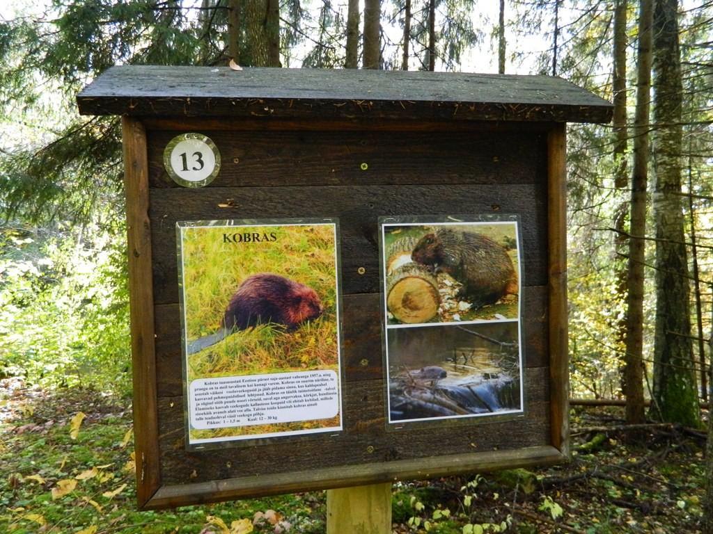
  • Information boards
  • Drop Toilet
  • Free parking

Lahtiolekuajad

Aastaringselt

Ööpäevaringselt

Kontakt

  • info@visitrouge.com

Lingid

Vaata lisaks

  • Hiking Trails

Taagepera hiking trail

The total length of Taagepera hiking trail is 5.4 km. The trail begins and ends at the Taagepera campfire site and partly runs along the shores of the Õhne River. The trail can also be completed in smaller circles – 1.6 km and 4.0 km long. There are wooden signposts and information boards at the hiking trail, capfire site is suitable also for camping.The main sights of the hiking trail include the Taagepera Castle with the Castle Park, Taagepera Church and the Cemetery, the graveyard of barons, the Musukivi rock, the sacrificial stone, the underground cemetery, and the Õhne River.A truly inspiring hike full of history, architecture, and ancient nature!

  • Hiking Trails

Rebäse landscape trail

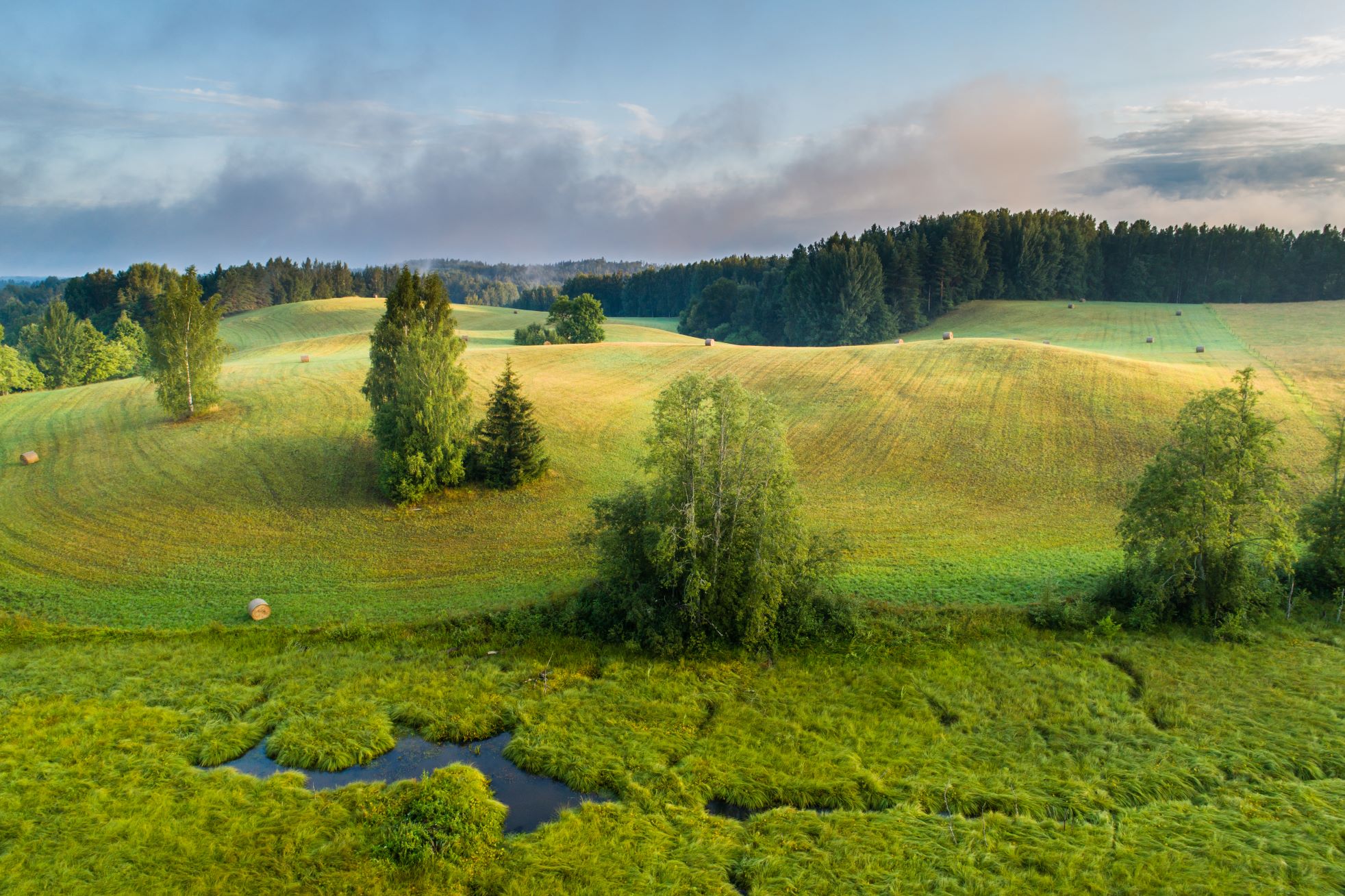
The 7-kilometre-long Rebäse landscape trail is located in the Karula National Park. The trail runs through old farm landscapes, passing the oldest farmstead in the area and the Linnamägi hill with traces of settlement from the Early Iron Age. Hikers can climb up the local "Mount Ararat", see Lake Raudjärv with its ice-cold water, and admire one of the largest gullies of Karula upland.You may need sturdy boots to pass the trail because in rainy weather the trail might be muddy and the boardwalk slippery. The trail also passes pastures, so you might encounter curious but generally friendly cows. Be careful around farm fences, they may be electric!

  • Family friendly
  • Lookout towers
  • Hiking Trails

Ööbikuorg valley and Rõuge lakes

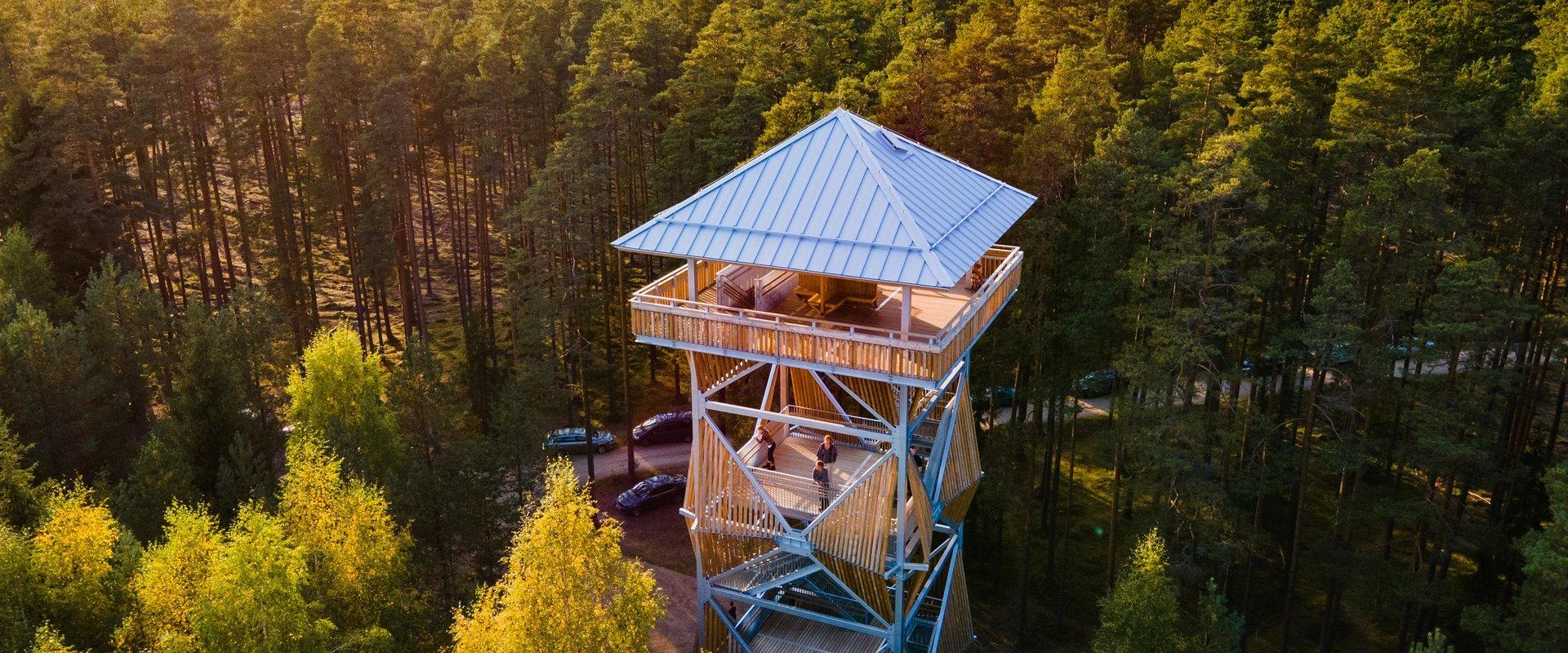
The Rõuge primeval valley, which is 10km long and 52m deep, contains seven lakes: Kahrila Lake, Tõugjärv, Ratasjärv, Kaussjärv, Rõuge Suurjärv, Liinjärv, and Valgjärv. The lakes are connected by the Rõuge or Ajo River, which starts from the Tindi valley. The side valleys of the Rõuge primeval valley are Tindi, Külm, Mõhk, Ööbikuorg, Tinopeetri, Hinni, Sikasoo, and Järveotsa valleys. The most famous of these is Ööbikuorg, which borders the ancient hillfort from the north. In spring, during the blossoming of bird cherry trees, the valley resonates with the song of nightingales – hence the name of the valley. Several hiking trails run through Rõuge, including the popular Ööbikuorg hiking trail, which takes visitors through the primeval valley, past lakes and springs. The trail is suitable for families with children and is partially accessible by bicycle. In summer, you can swim and paddle in the lakes, while in winter, the same trails are enjoyed by skiers and sledders. In the Rõuge settlement, there is also Estonia's deepest lake – Rõuge Suurjärv (38m) – and the largest Nature Clock in Estonia, whose hands mark the passage of time in nature's rhythm.Good to know: At the edge of Ööbikuorg, there is a visitor center and the Pesapuu observation tower, which offers a view of the entire valley.

  • Hiking Trails

Alatskivi Hiking Trail

The 4.5 km long trail around Lake Lossijärv with its varied terrain and beautiful views offers visitors plenty of excitement and sights at any time of year.The trail starts at Alatskivi or by the Bed of Kalevipoeg. Alatskivi Castle and Castle Park, Hirveaed Garden, Sheep Bridge, Bed of Kalevipoeg, Lake Veskijärv, and Lake Lossijärv are all along the trail. There are two large information boards on the trail, log stairs in the Bed of Kalevipoeg, two bridges, signs, and small information boards that introduce the objects found in the protected area.

  • Hiking Trails

Hiking trail in the Rõuge Primeval Valley

The Rõuge Primeval Valley hiking trail is as straight as a line, 10 km long, it begins at Hinni Canyon or in the Ööbikuoru Centre parking lot. Beginning at the Ööbikuorg start point, the trail runs along the shores of seven lakes towards Hinni Canyon and offers hikers an opportunity to observe the workings of the area's water rams, see the deepest Estonian lake – Rõuge Suurjärv and visit Rõuge Park.Further on, on the shores of Lakes Ratasjärve, Tõugjärve and Kahrila, hikers can see the local forest communities, rest in meadows or enjoy the village landscape and proceed along the short path towards Hinni Canyon.

  • Hiking Trails

Peräjärve forest trail

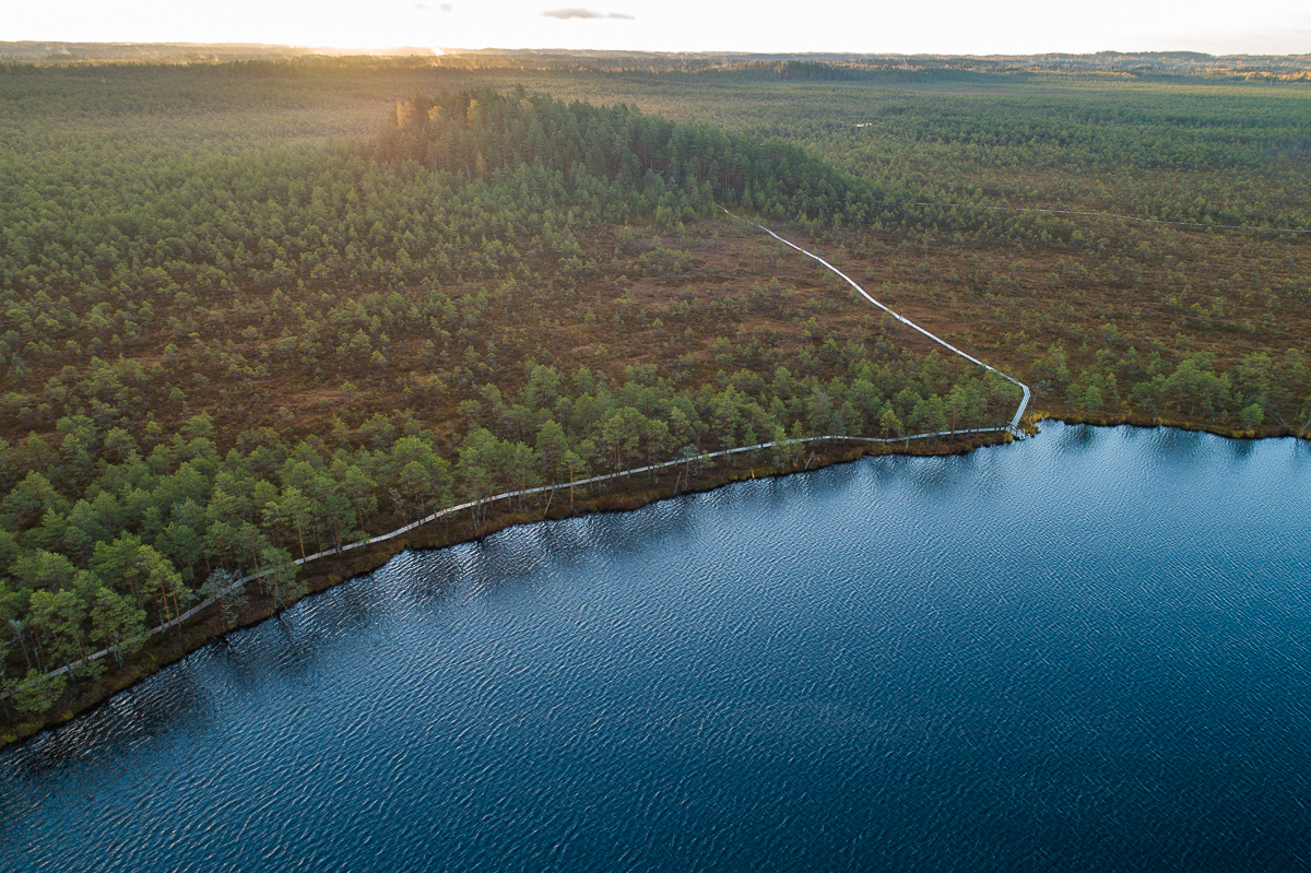
Peräjärve forest trail guides the hiker through different forest types - fresh boreal forest, dry boreal forest, boreal heath forest, carr, and swamp forest. You will get an overview of the different uses of the forests throughout history, a living example of this are the trees near the trail, which are used to extract resin from.The study trail can be visited all year round: in spring there're a lot of bird sounds and the daphne mezereum blooms, in summer and autumn the forest is full of berries and mushrooms, and in winter you can see interesting animal tracks in snow.

  • Camping sites
  • Hiking Trails

Lake Kavadi hiking trail

The 2.2 km hiking trail in Kavadi runs along the banks of Lake Kavadi. The hiking trail begins and ends in New-Salus Park, which has a resting place, campfires with barbecue grilles and a campsite. The trail with the direction of travel winds both along the shore lane and under the forest. Lake Kavadi is considered the most articulated shore-lined lake in Estonia. The surface area of the lake is 27.4 ha. The current size and look have been acquired by the lake some 140 years ago when Baron C. FR. von Maydell, who bought the New-Salus mansion, swelled up three small swamp lakes.

  • Hiking Trails
  • Parks
  • Beaches

Lake Pühajärv

Pühajärv, with its picturesque winding shoreline and four islands, is the largest lake in Otepää Nature Park. At the northern tip of Pühajärv, there is a beach area with a beach house, ball courts, a children's playground, recreation areas, a café, and a boat harbor. At the southern tip is the Kooliranna recreation area, and from there begins the Väike Emajõgi, which meanders through Valgamaa. Pühajärve Park is the starting point for the Murrumetsa hiking trail, and around the lake runs the 12 km long Pühajärve hiking trail, which passes by the lake's most famous spring, the Armuallikas. In winter, when weather conditions are suitable, an ice trail is created on the lake for hiking, and a winter swimming area is open at Pühajärve Beach.Pühajärv has provided plenty of inspiration for writers and artists. For example, Fridebert Tuglas and Eino Leino have vacationed here. Information about Konrad Mägi's Pühajärv paintings can be found on an info board by the lakeshore near the GMP Pühajärve restaurant. In 1991, the Dalai Lama, Tenzin Gyatso, visited Otepää and blessed the lake, an event commemorated by a wooden sculpture on the shore of Pühajärve Park.

  • Privacy Policy

"*"обозначает обязательные поля

Это поле используется для проверочных целей, его следует оставить без изменений.
Я разрешаю маркетинг