• Avasta
    • Еда
    • Природа
    • Культура
    • Семья
    • Спорт
    • Сообщество
    • Блог
  • Planeeri
    • Размещение
    • Информация
    • Varamu
RUS
  • РусскийRUS
  • EestiEST
  • EnglishENG
  • LatviešuLAT
  • SuomiFIN
RUS
  • РусскийRUS
  • EestiEST
  • EnglishENG
  • LatviešuLAT
  • SuomiFIN
Populaarsed otsingud:
Näita kõiki tulemusi
  • Nature and Activities
  • Nature
  • Hiking Trails

Pullijärve hiking trail

Pullijärve tn 1, Rõuge vald, Võru maakond, 65001

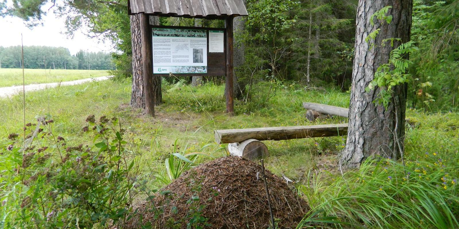
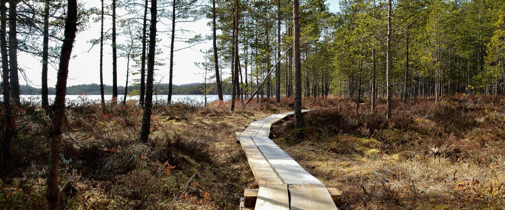
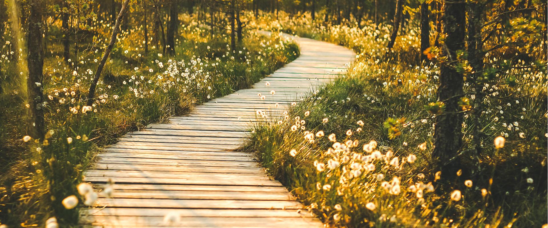
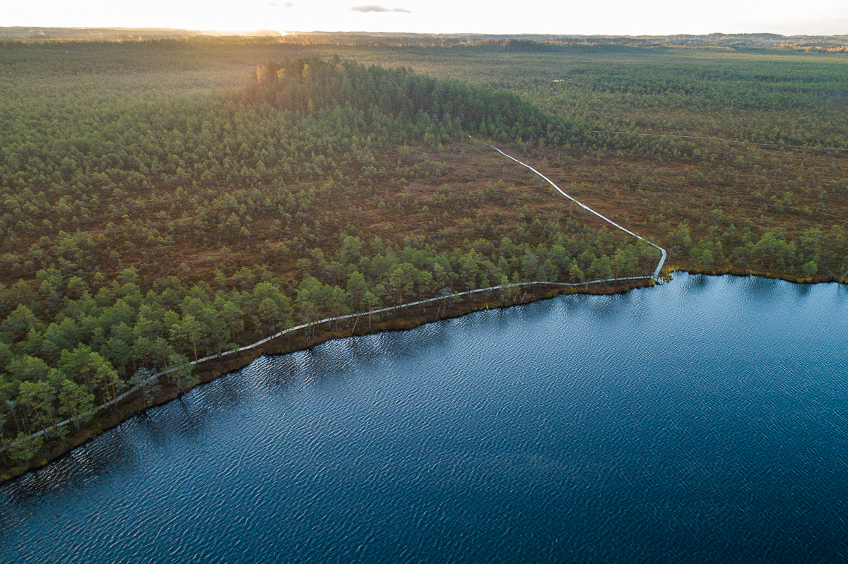
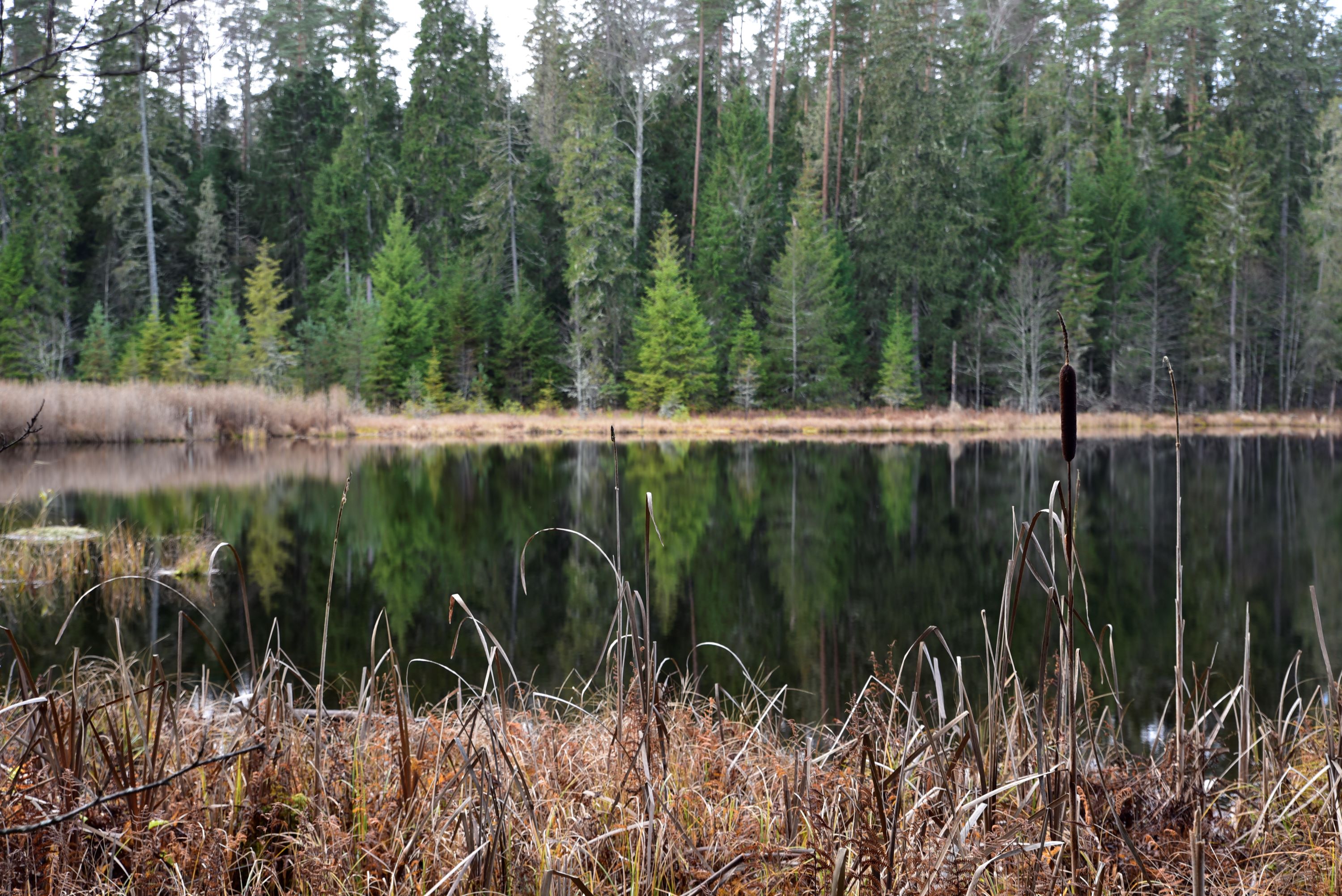
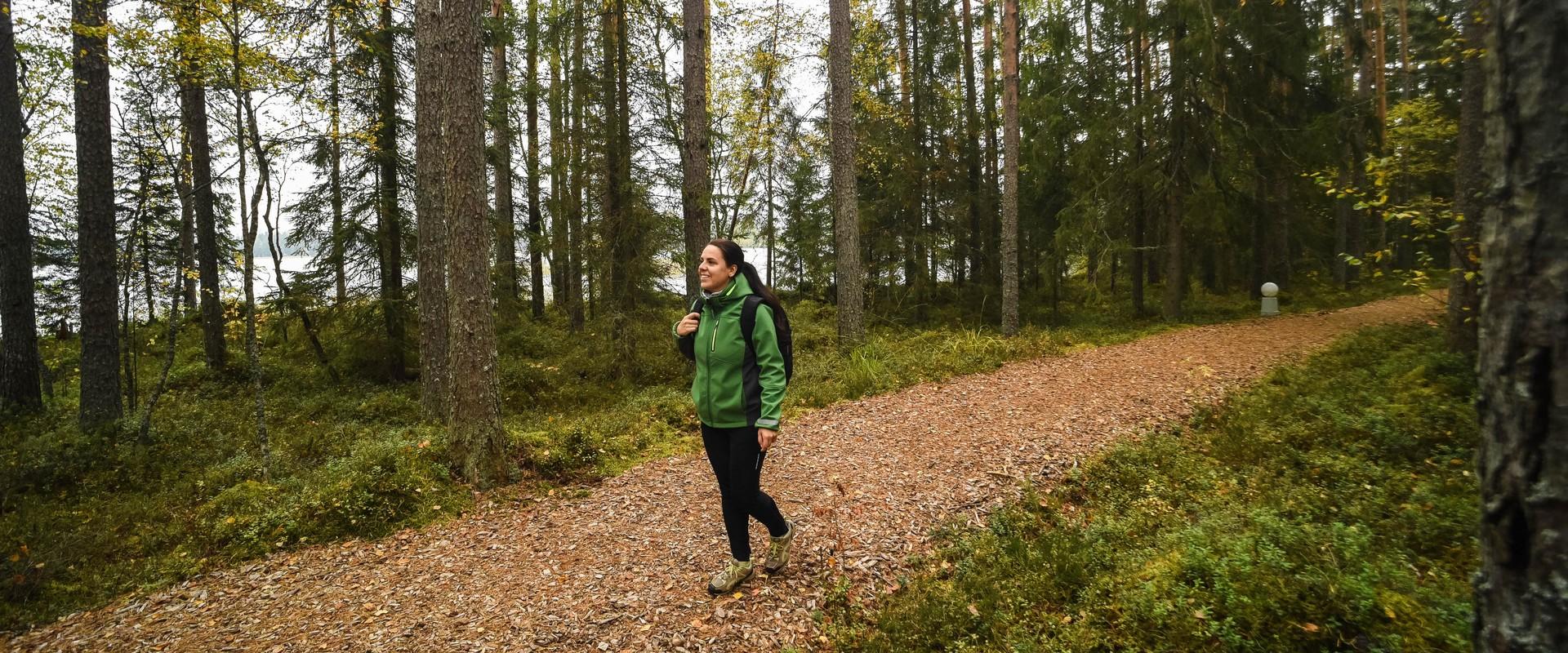
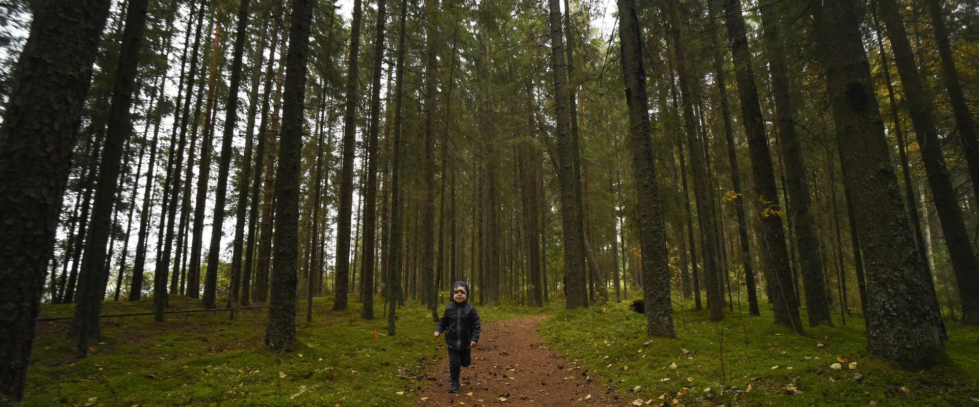
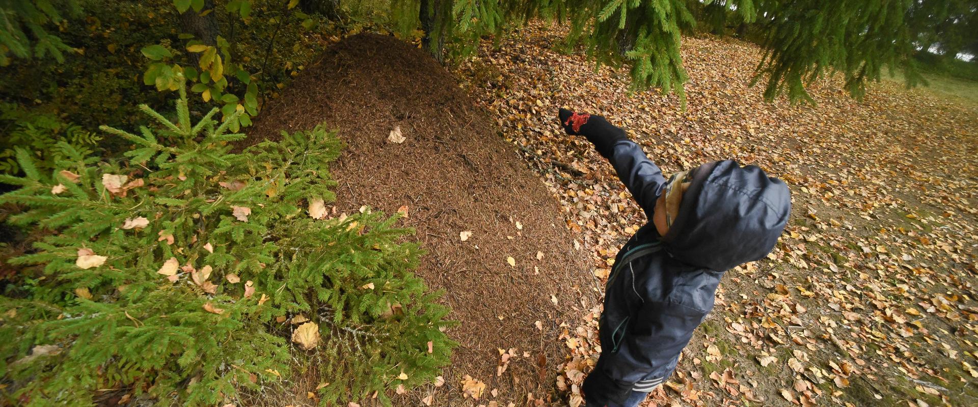
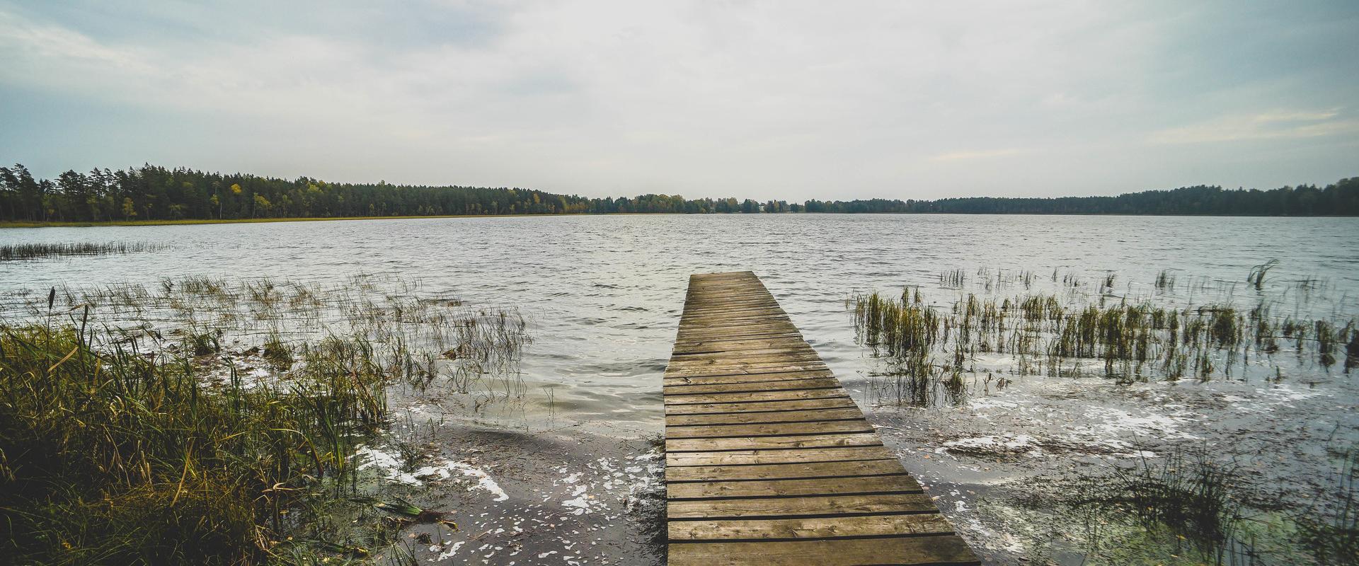
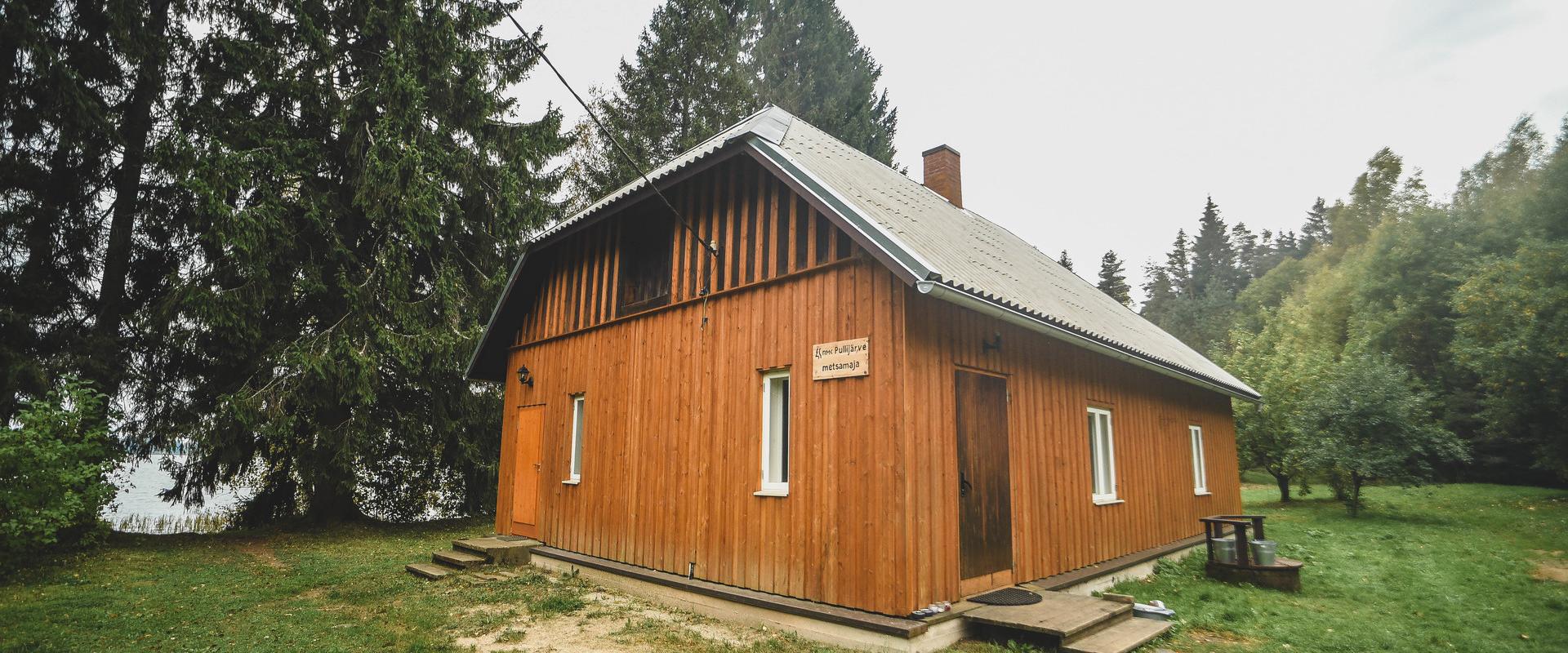
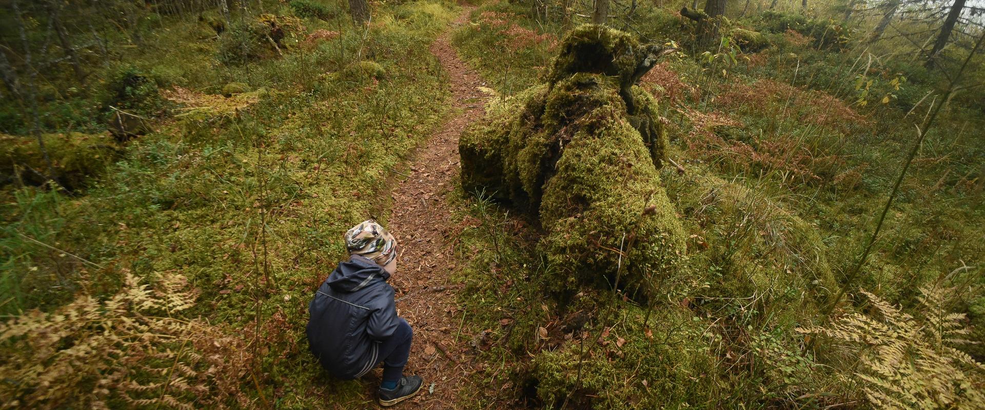
Located next to the community of Misso, Pullijärv is a nice place to spend some time.  If you don’t feel like swimming, you can hike around the lake: the 3.6-kilometer-long trail is just the right length for the whole family. The trail rises here and there too: boys used to do ski jumps from its highest point onto the lake in winter.The trail begins and ends at the RMK Pullijärv rental hut, which is located on the north shore of the lake. In spring and fall, the trail can be really wet.

Mugavused

  • Information boards
  • Free parking

Lahtiolekuajad

Aastaringselt

Ööpäevaringselt

Kontakt

  • puhkus@rmk.ee

Lingid

Vaata lisaks

  • Hiking Trails

Tõrvandu forest study trail

The 3 km Tõrvandu forest study trail starts at a crossroads about 400 metres from Pähni Nature Centre. This marked and explained hiking trail is meant for everyone interested in the forest. There are campfire grounds, camping area and shelters on the trail. The 25 observation points of the trail are also permeable by car.

  • Hiking Trails

Hiking trails at Lake Kirikumäe

Kirikumäe's 3.2-km-long hiking trail winds around the lake of the same name, which is known as the best swimming area in the region. There is a bog on the southern shore of the lake and the hiking trail also runs across the bog. For this purpose, a boardwalk has been built there. In any case, however, you must be prepared to get your feet wet here and there. There are information boards, campfires, and forest trails on the track.

  • Lookout towers
  • Hiking Trails

Valgesoo study trail

The study trail is well-suited for getting acquainted with the development and vegetation of bogs and for observing pine cultures. A 1.8 km long circular study trail revolves around the Valgesoo bog. On the she study trail you can explore the bog vegetation, old pine plantation ("Baron's pine forest"), and a forest edge rich of Scottish wood ants. The whole trail is accessible by a wheelchair or stroller. To facilitate movement on the track, there is a track map and colour markings on the trees. There is an observation tower and a campfire site at the start of the study trail.Valgesoo bog is one of the 21 places worth discovering in Southern Estonia, which is suggested to be visited for those who are interested in nature.

  • Hiking Trails

Luhasoo nature trail

The hiking trail on the Luhasoo landscape protection area is a 5 km long loop, partially covered with a boardwalk. In the center of the trail, there is a small forest hut on a bog island for overnight stays. Hiking in the flat terrain of Luhasoo offers a contrast to the otherwise hilly nature of Võrumaa. The peace and quiet of the bog help nerves to relax from city noise and daily activities. The boardwalk-covered part is easy to traverse even with children. It is possible to take breaks along the way. Luhasoo bog is known for its dark-water pools and moss fields shimmering between them. As you move along the trail, picturesque views of the bog lake and surrounding transition bog landscape unfold — it's an ideal place to breathe in clean air, take a break, and recharge naturally. The hike offers both visual diversity and an opportunity to truly escape the noise of everyday life. Good to know: firewood needed for the forest hut should be taken from the shelter at the start of the boardwalk. The forest hut is available for free use.

  • Hiking Trails

Peräjärve forest trail

Peräjärve forest trail guides the hiker through different forest types - fresh boreal forest, dry boreal forest, boreal heath forest, carr, and swamp forest. You will get an overview of the different uses of the forests throughout history, a living example of this are the trees near the trail, which are used to extract resin from.The study trail can be visited all year round: in spring there're a lot of bird sounds and the daphne mezereum blooms, in summer and autumn the forest is full of berries and mushrooms, and in winter you can see interesting animal tracks in snow.

  • Hiking Trails

Hiking trail in the Rõuge Primeval Valley

The Rõuge Primeval Valley hiking trail is as straight as a line, 10 km long, it begins at Hinni Canyon or in the Ööbikuoru Centre parking lot. Beginning at the Ööbikuorg start point, the trail runs along the shores of seven lakes towards Hinni Canyon and offers hikers an opportunity to observe the workings of the area's water rams, see the deepest Estonian lake – Rõuge Suurjärv and visit Rõuge Park.Further on, on the shores of Lakes Ratasjärve, Tõugjärve and Kahrila, hikers can see the local forest communities, rest in meadows or enjoy the village landscape and proceed along the short path towards Hinni Canyon.

  • Hiking Trails

Kirna hiking trail

Kirna’s 6.8 km study trail provides a good opportunity to explore the Pedja River meadows and forest. To gain a better view of the meadows and river, the Altmetsa Farm has an observation tower. A suspension bridge helps to cross the river. On the right bank of the Pedja River, you will find the magnificent oak tree Musutamm. The trails of wild boars and beavers can also be seen on the study trail.While on the trail, you might hear gunfire as the Kirna Training Centre of the Defence League is close by. The access roads to the meadows intersect the study trail in several places, please carefully follow the trail marking!

  • Hiking Trails

Hiking trail Green Railways Valga / Valka–Ape

The Valga/Valka–Ape narrow gauge railway was opened to traffic in 1900 and the last trains ran here in 1970.Today, most of the old railway embankment is used as a hiking trail that runs through forests and fields on gravel and dirt roads.On the Valka–Žuldin and Koikküla–Hargla section, the trail is redirected to larger roads, because the former railway dam is mostly impassable there.Many old railway photographs and historical stories related to the railway have been attached to the old sleepers on the railway dam.There is a resting place in Hargla.

  • Privacy Policy

"*"обозначает обязательные поля

Это поле используется для проверочных целей, его следует оставить без изменений.
Я разрешаю маркетинг