• Avasta
    • Еда
    • Природа
    • Культура
    • Семья
    • Спорт
    • Сообщество
    • Блог
  • Planeeri
    • Размещение
    • Информация
    • Varamu
RUS
  • РусскийRUS
  • EestiEST
  • EnglishENG
  • LatviešuLAT
  • SuomiFIN
RUS
  • РусскийRUS
  • EestiEST
  • EnglishENG
  • LatviešuLAT
  • SuomiFIN
Populaarsed otsingud:
Näita kõiki tulemusi
  • Nature and Activities
  • Nature
  • Hiking Trails

Hiking trails at Lake Kirikumäe

Võru vald, Võru maakond, 65218

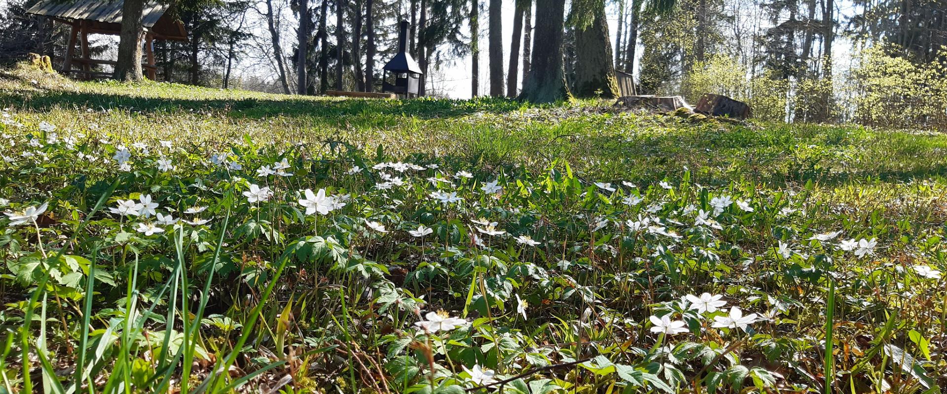
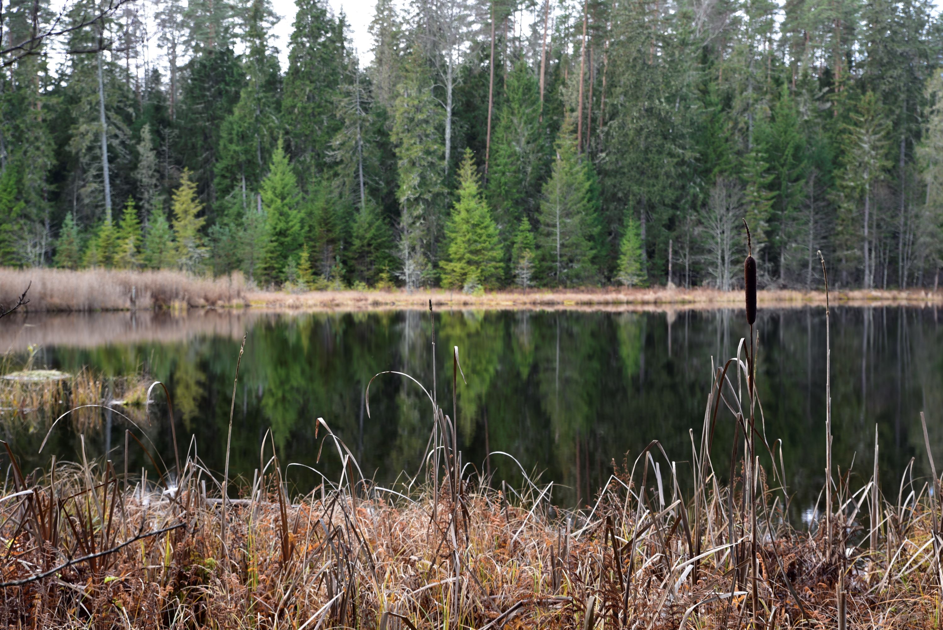
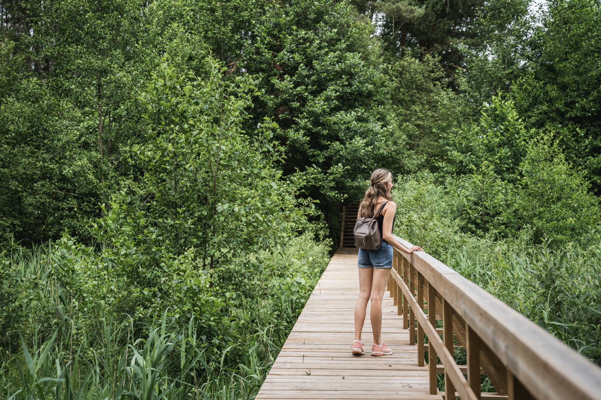
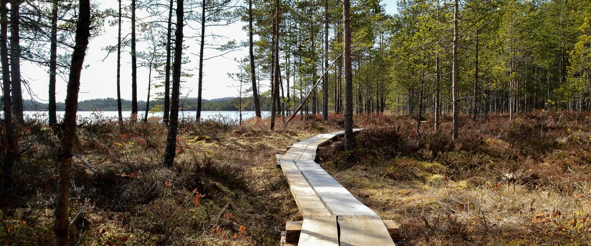
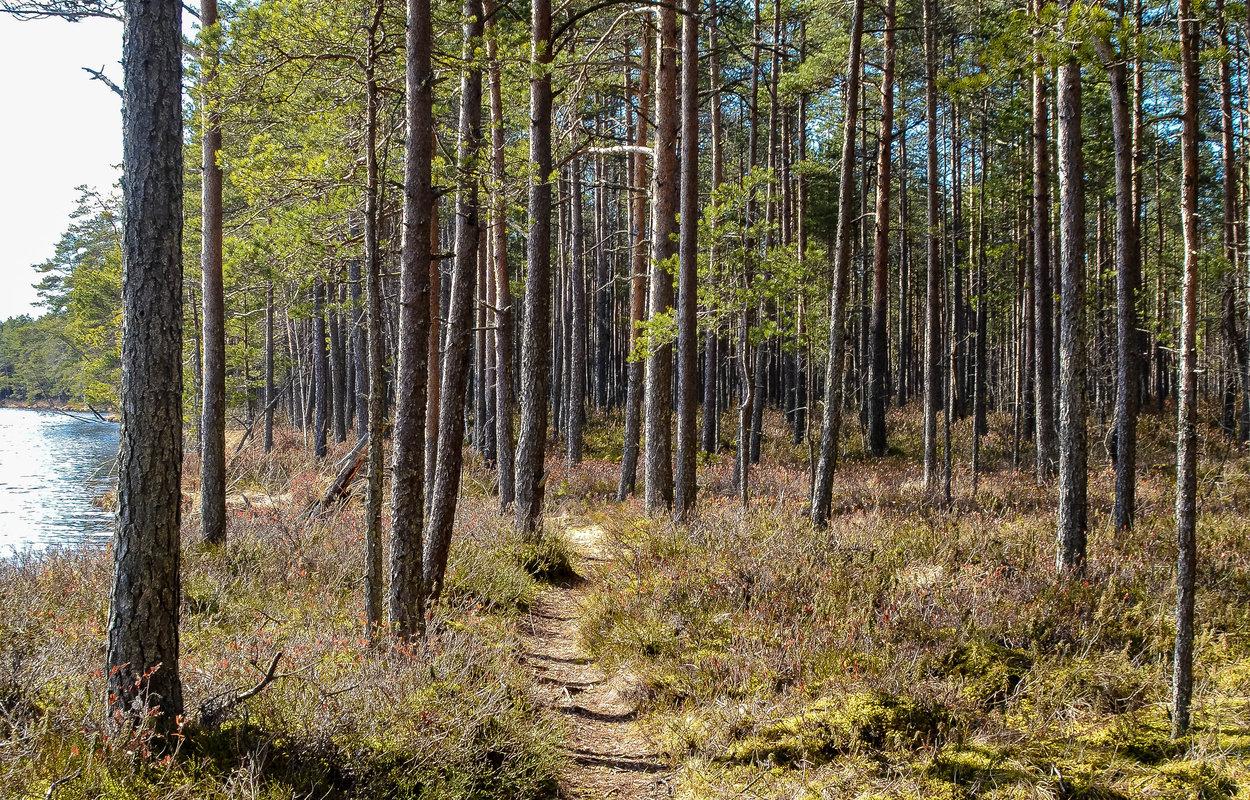
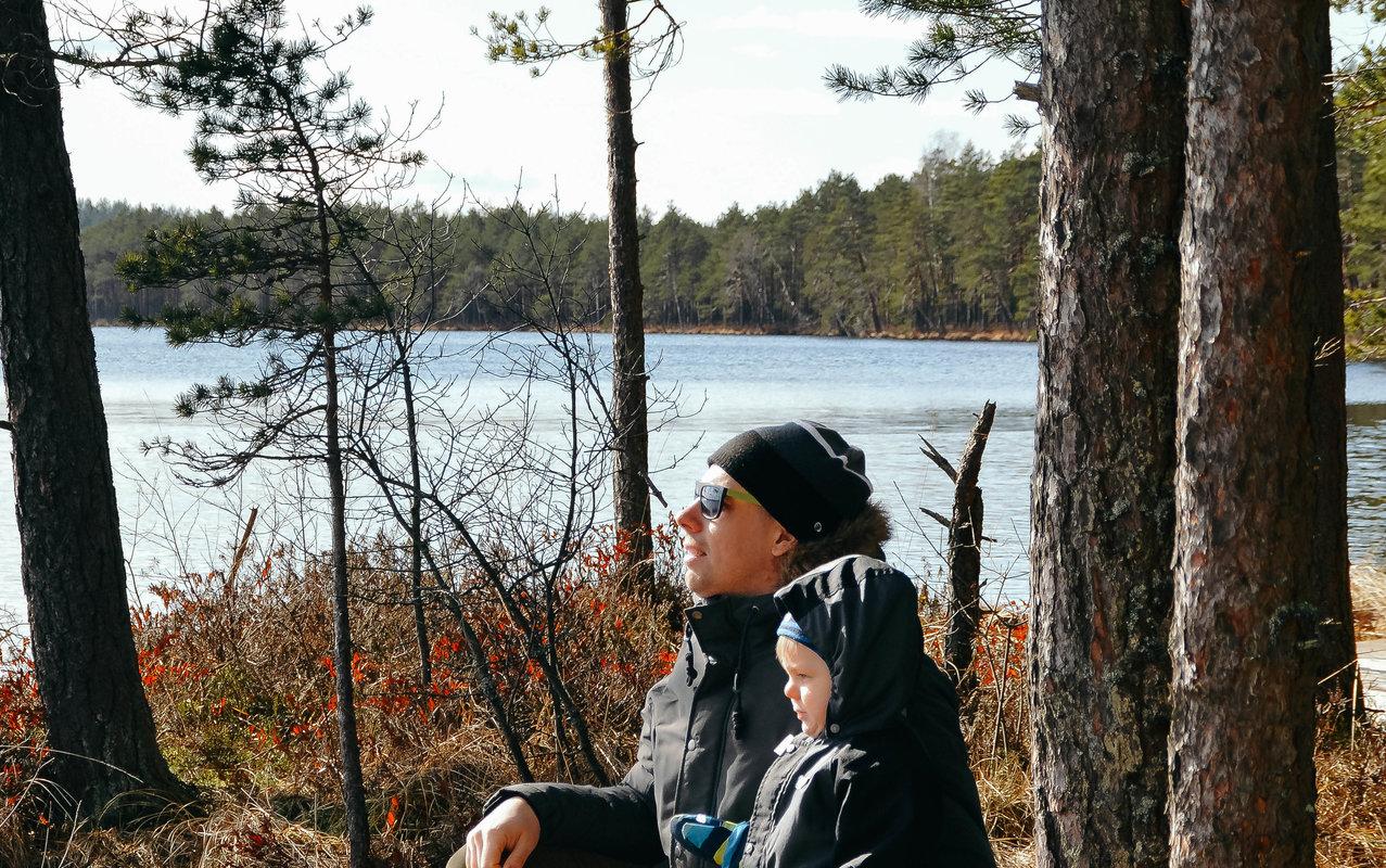
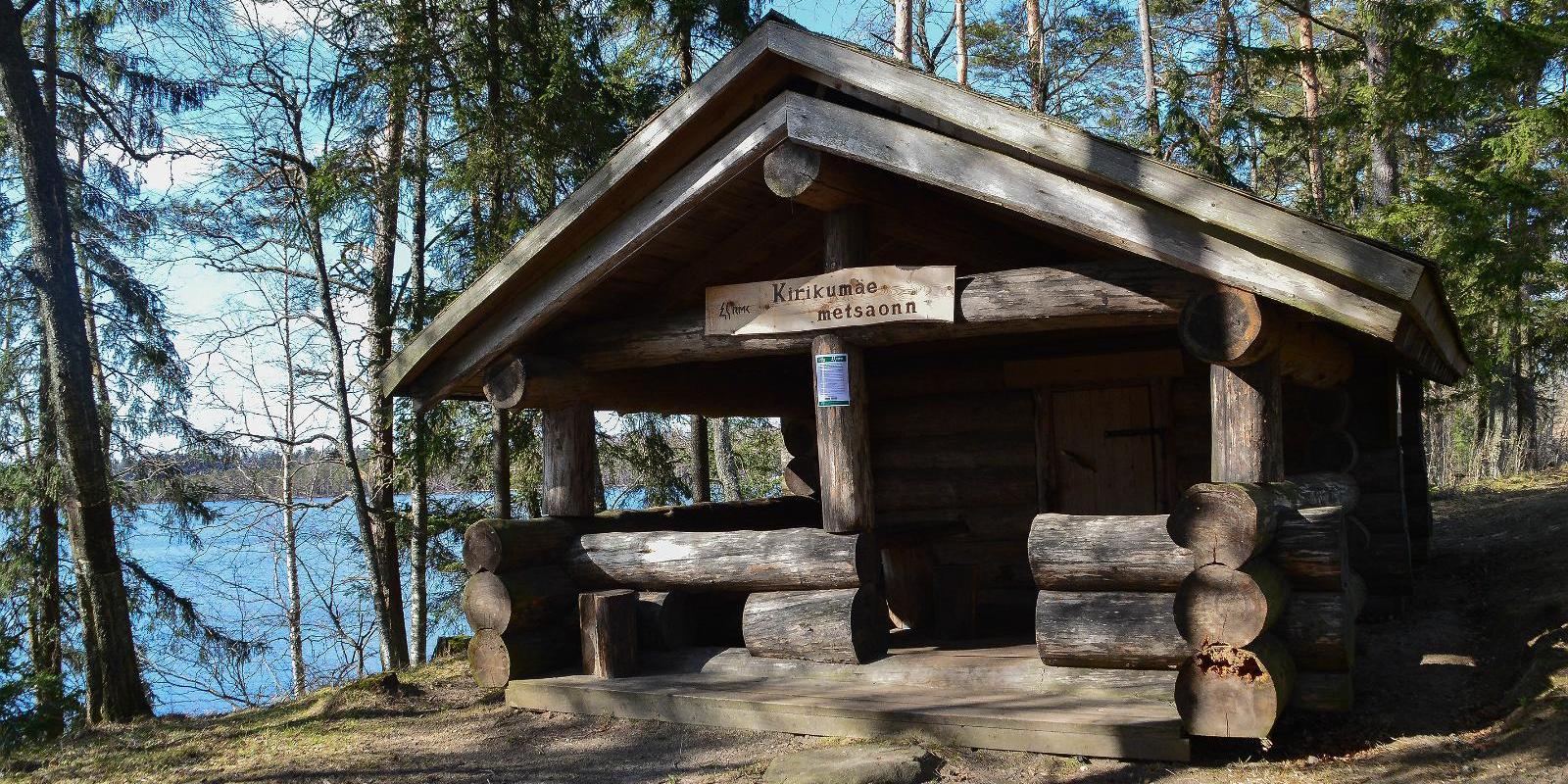
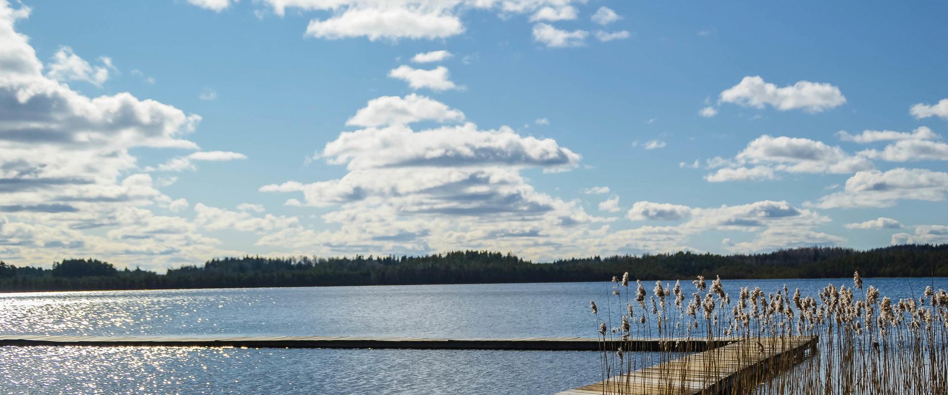
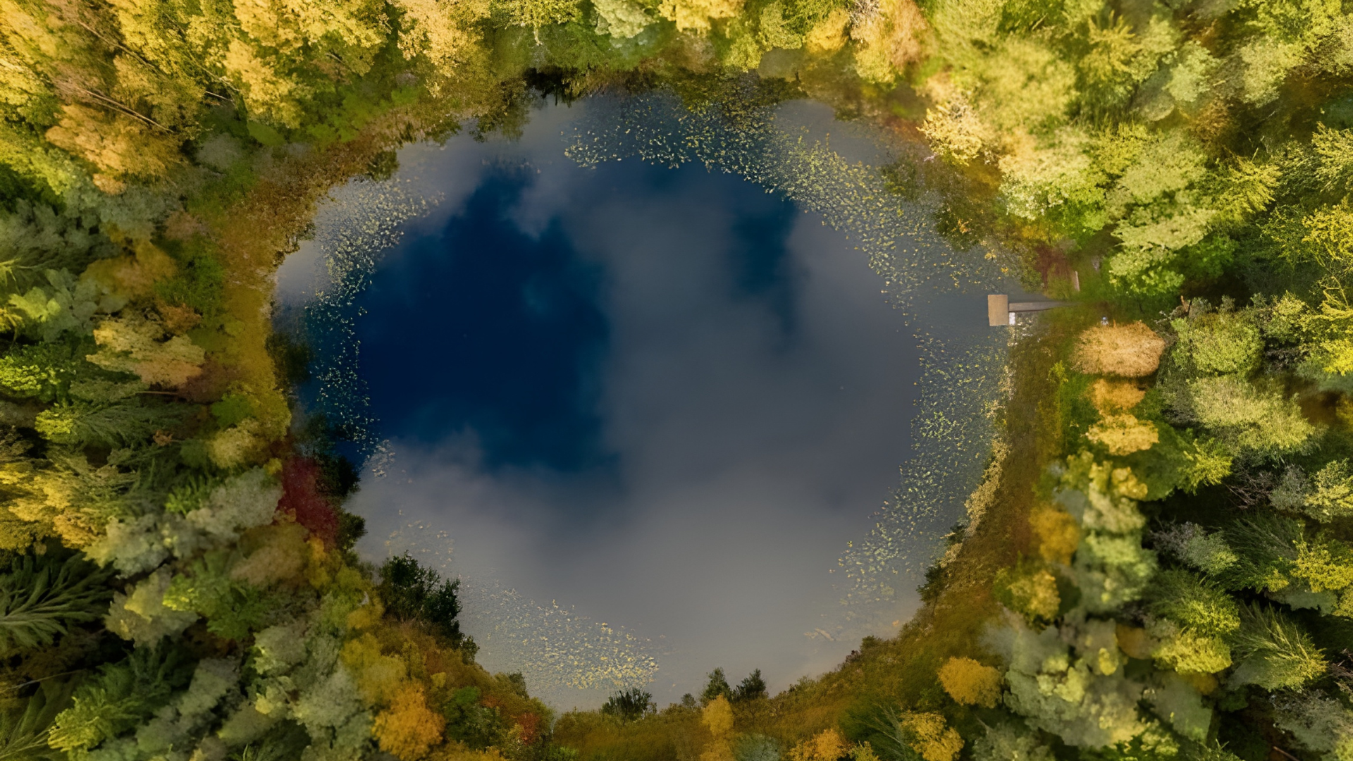
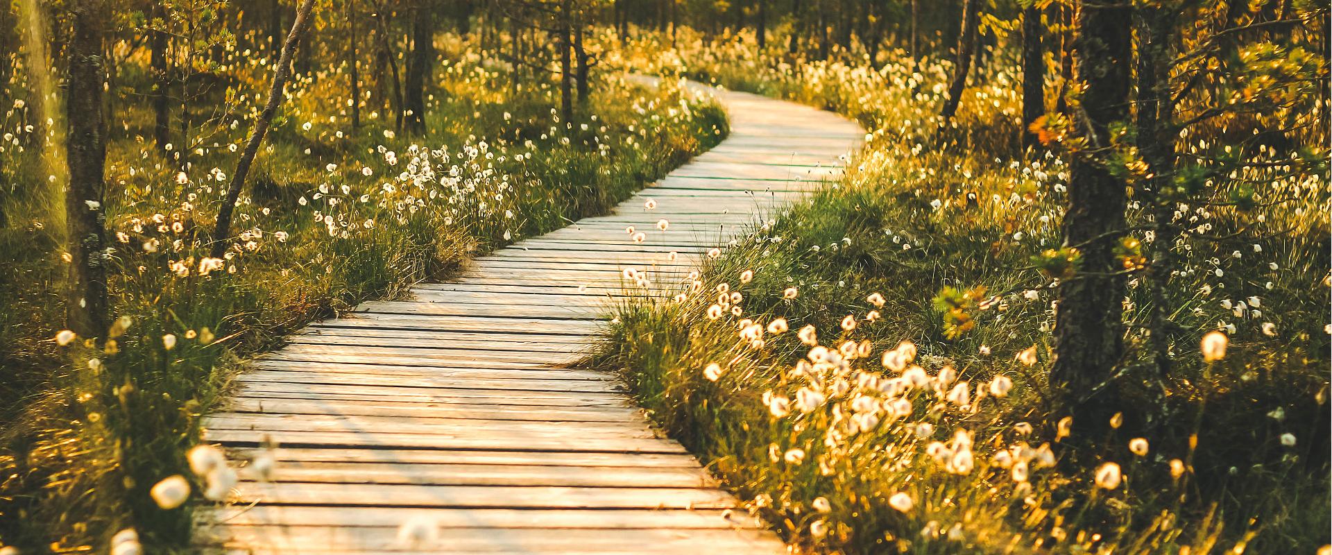
Kirikumäe’s 3.2-km-long hiking trail winds around the lake of the same name, which is known as the best swimming area in the region. There is a bog on the southern shore of the lake and the hiking trail also runs across the bog. For this purpose, a boardwalk has been built there. In any case, however, you must be prepared to get your feet wet here and there. There are information boards, campfires, and forest trails on the track.
Mugavused

  • Information boards
  • Drop Toilet
  • Free parking

Lahtiolekuajad

Aastaringselt

Ööpäevaringselt

Kontakt

  • +372 501 9564
  • info.pahni@rmk.ee

Lingid

rmk.ee

Vaata lisaks

  • Hiking Trails

Kirna hiking trail

Kirna’s 6.8 km study trail provides a good opportunity to explore the Pedja River meadows and forest. To gain a better view of the meadows and river, the Altmetsa Farm has an observation tower. A suspension bridge helps to cross the river. On the right bank of the Pedja River, you will find the magnificent oak tree Musutamm. The trails of wild boars and beavers can also be seen on the study trail.While on the trail, you might hear gunfire as the Kirna Training Centre of the Defence League is close by. The access roads to the meadows intersect the study trail in several places, please carefully follow the trail marking!

  • Hiking Trails

Vällamäe hiking trail

Vällamäe 3,3 km long hiking trail offers a unique elevation change in Estonia. Vällamägi is Estonia's second highest hill, covered with ancient forest and steep slopes, with an elevation of 303.9 m above sea level. However, considering the 84 meters measured from the base to the peak, Vällamägi is the highest in relative height in Estonia. The slopes of the hill are very steep in places (incline of 35-40 degrees). Since 1992, Vällamäe forests have been designated as a spruce gene pool reserve. As you move along the trail, steep ascents and descents alternate, offering both a physical challenge and breathtaking views of the ancient forest shelters. The climb to the peak may momentarily make you feel like you've arrived in the mountains, not Haanja. The charm of Vällamäe lies in its primordial silence and touch of nature – you won't find crowded hiking trails here. Each season adds its own character to the trail: in spring, the air is filled with birdsong, in summer you may find berries in the forest, in autumn colorful leaves and an abundance of mushrooms delight the eyes, and in winter the slopes are covered with a dense layer of snow in silence.

  • Hiking Trails

Peräjärve forest trail

Peräjärve forest trail guides the hiker through different forest types - fresh boreal forest, dry boreal forest, boreal heath forest, carr, and swamp forest. You will get an overview of the different uses of the forests throughout history, a living example of this are the trees near the trail, which are used to extract resin from.The study trail can be visited all year round: in spring there're a lot of bird sounds and the daphne mezereum blooms, in summer and autumn the forest is full of berries and mushrooms, and in winter you can see interesting animal tracks in snow.

  • Camping sites
  • Hiking Trails
  • Beaches

Lake Pühajärv hiking trail

The hiking trail that encircles Lake Pühajärv starts near the centre of Otepää Nature Park. The 14 km trail takes you on a voyage of discovery around one of the most unique and beautiful lakes in Estonia. Covering the whole track takes from 3–6 hours. There are rest areas and barbecue sites along the way. Part of the track (approximately 2.2 km) runs along the Pühajärve–Kääriku exercise track by the Otepää–Kääriku highway. You can cover the track by foot or bike. Cyclists must bear in mind that there are parts of the track on which you will have to push your bike instead of riding it. The Angunina, Kiigemäe and Koolirand campfire sites are located on the trail. There, you can make a fire and camp.

  • Hiking Trails

Wood Ants’ Trail of Kiidjärve

Among the approximately 1 km study trail introducing the life of wood ants, the hiker can feel like a giant in the minuscule world of ants. In an area of 20 hectares there are 200 ant hills, the biggest of which is 1.7 m high; you can also admire the record-high spruce (42 m). The trail has signs, information boards, and bridges crossing ant highways.The trail is for walking only. While hiking on the trail near ant hills, use only the bridges installed there. The Laari forest study trail starts on the other side of the railway.The civilisation of ants offers an experience for both children and adults.

  • Hiking Trails

RMK forest study trail at Pähni Nature Centre

The 2.8 km Pähni forest trail starts and ends at the Pähni Nature Centre.The trail starts with an information board with introductory text, later on you have to follow the signs.There are 15 points of interest on the trail with information on different types of forests, species of trees and evidence of cultural heritage and animal activity. There is also a fire pit and shelters (4) where you can relax and take a break. The trail is partially covered with a wooden boardwalk (200 m).

  • Hiking Trails

Rebäse landscape trail

The 7-kilometre-long Rebäse landscape trail is located in the Karula National Park. The trail runs through old farm landscapes, passing the oldest farmstead in the area and the Linnamägi hill with traces of settlement from the Early Iron Age. Hikers can climb up the local "Mount Ararat", see Lake Raudjärv with its ice-cold water, and admire one of the largest gullies of Karula upland.You may need sturdy boots to pass the trail because in rainy weather the trail might be muddy and the boardwalk slippery. The trail also passes pastures, so you might encounter curious but generally friendly cows. Be careful around farm fences, they may be electric!

  • Hiking Trails

RMK Voorepalu Põrgurada trail

The hiking trail, which is suitable for a pleasant walk, starts on the other side of the road opposite the Voorepalu campfire site and runs along an extremely varied landscape with several steep ascents and descents. The trail has information boards introducing past events and folklore and the highest point of the trail has a table and benches for resting. Rope railings have been installed on the steep slopes of the trail.The historical Postal Road runs between the campfire site and the hiking trail. Ristimänd tree and many other exciting places are on the trail with a varied landscape. Two cars can park at the campfire site.

  • Privacy Policy

"*"обозначает обязательные поля

Это поле используется для проверочных целей, его следует оставить без изменений.
Я разрешаю маркетинг